|
|
Rochester Mountain (2953 feet) |
There are two approaches to the mountain: from the Randolph side and from the Rochester side. Here I describe the approach from the Randolph side. The trailhead that I used is located at the junction of Rochester Town Highway #2 and the Rochester Hollow Road (GPS coordinates: 43.888114, -72.739696). There is no official parking area here, but it is easy for a few cars (4 or 5?) to park off the road. Town Highway #2 ascends west. The road is unmaintained. It is marginally passable for ordinary vehicles for about 0.5 miles where there is a small upper parking area large enough for two or three cars. From there the road becomes a jeep/ATV trail. (About 2 miles; elevation change about 1400 feet).
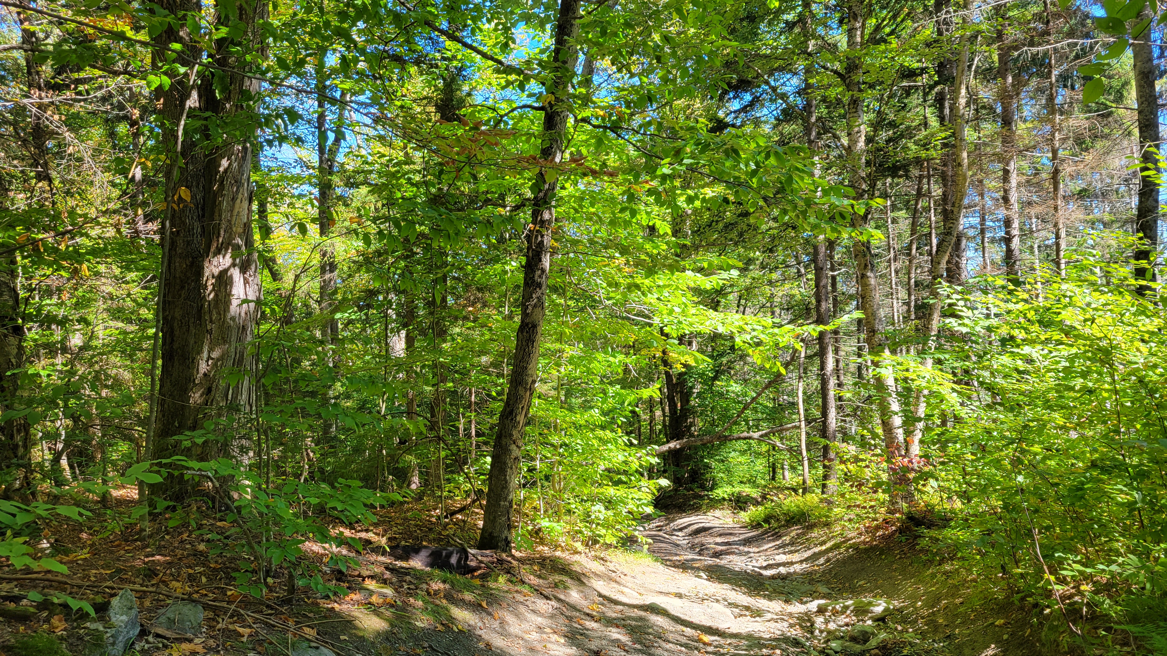
The trail climbs steadily but not excessively steeply through hardwood forests. After a little more than a mile the trail comes to the top of the ridge at Randolph Gap. There Town Highway #2 starts to descend to the Rochester side. There may be access from that side as well, but I do not know how that looks.
At the top of the ridge there is a large grassy area that makes a good resting spot. An unmarked but obvious jeep/ATV trail that is not shown on many maps or in most guidebooks leaves Town Highway #2 south toward the top of Rochester Mountain. It follows the ridge closely as it ascends another mile, or so, to the summit. As the trail approaches the summit you can see the forest starting to change over to the spruce-fir mix typical of higher elevation forests, although it remains primarily hardwood all the way to the summit.
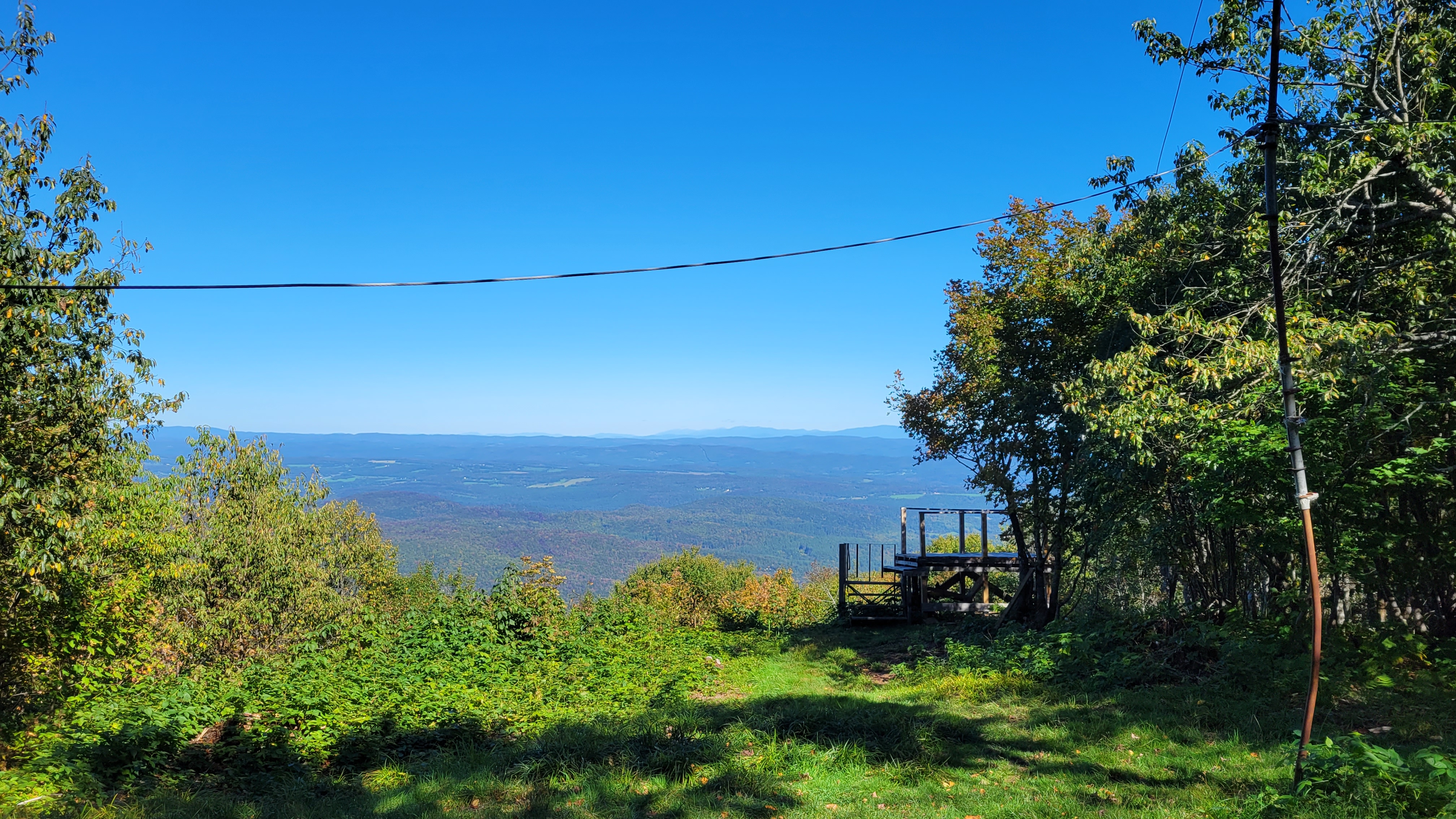
From the summit there is a good view east toward Randolph and the White Mountains. The view is artificial, being made possible by the human removal of a number of trees. There is also an observing platform, but use the platform at your own risk. The summit also has a picnic table, a flagpole, and some memorial stones for two individuals who passed away at an early age, presumably from an ATV accident. This summit is obviously a favorite destination for the ATV community.
The weather was beautiful today with perfectly clear skies and cool (but not cold) weather. This is a nice hike because it is fairly short and direct. It is difficult enough to feel like a climb without being overly exhausting.
Return to the Vermont 100 highest list.