|
|
Elmore (2608 feet) |
This is the first mountain I've climbed in a number of years so I took my time. I was pleased to discover that the hike was within my means. I found it comfortable and enjoyable. The weather report for today was calling for snow "late in the day" but, as it happened, it snowed lightly during my hike. This made the trail a bit slippery and treacherous in places. Fortunately I was using new hikers (this was only my second trip using them), and they gripped the trail remarkably well considering the conditions.
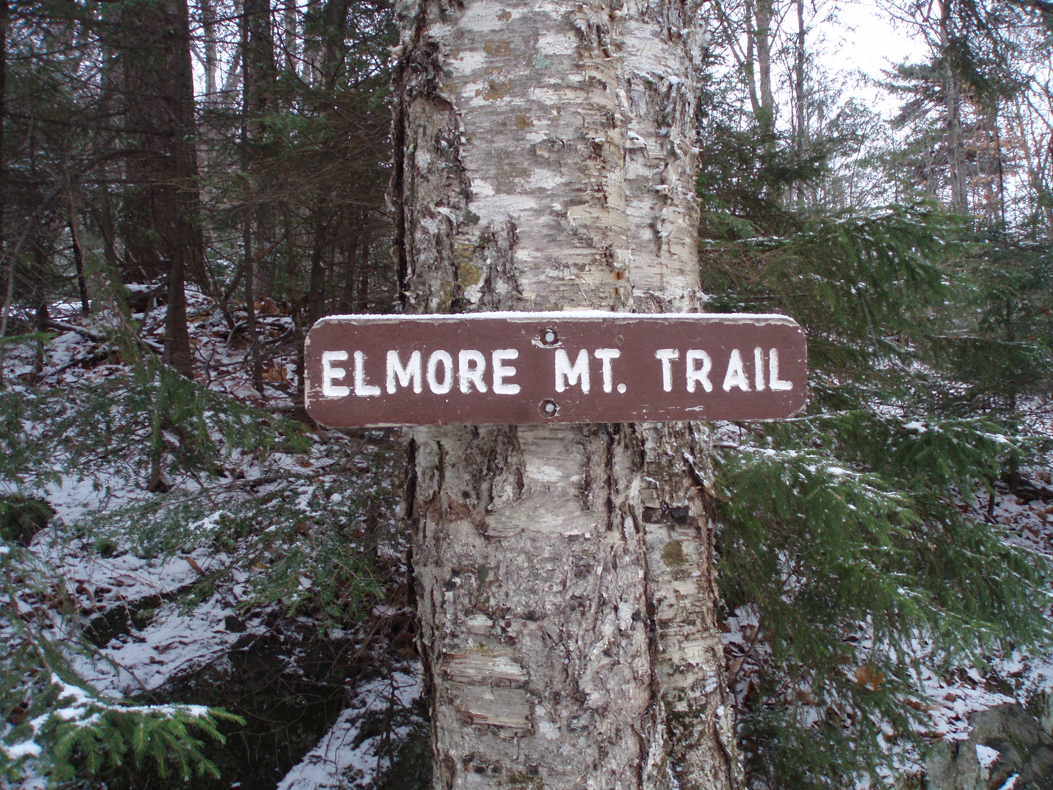
I started at Elmore State Park, following the road at the back to a small parking area for the trailhead. There were a couple of blow-downs on the road but, fortunately, they didn't completely block the road. They did make me see the value in keeping a saw in the car for possible future use.
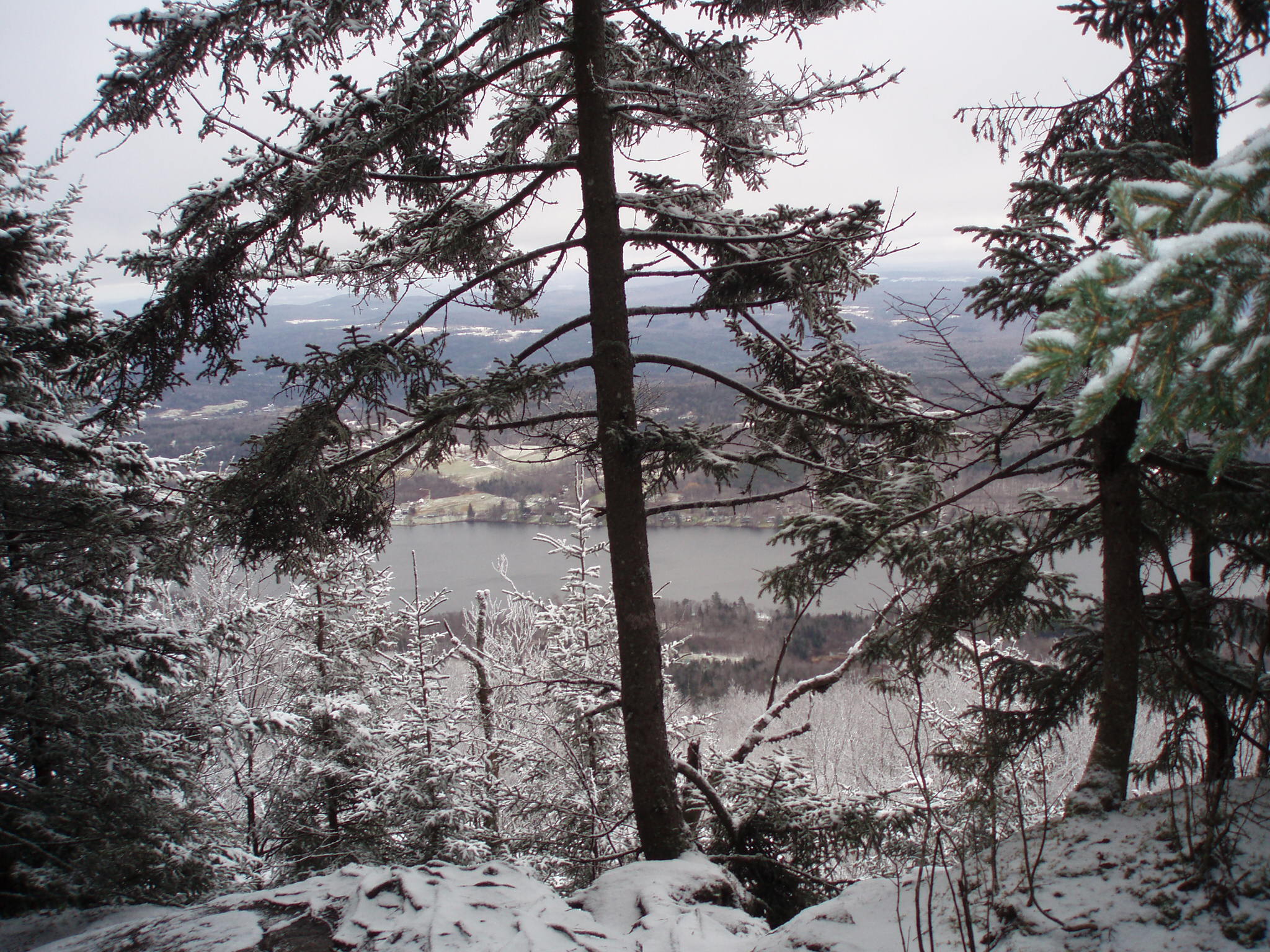
From the trailhead the trail followed the road, running coincident with the Catamount Ski Trail. After a bit of moderate climbing the Elmore Mountain Trail branched to the right and into the woods. The climb continued, mostly moderately through open forest, to a lookout with an interesting view of Lake Elmore below. By the time I reached the lookout there was a thin but complete covering of snow over the ground... less than 1/2 inch in depth.
From the lookout the trail ascended steeply over rocky terrain through coniferous forest. The last section was short, but distinctly more rigorous than the climb to the lookout had been. It was here, particularly, where slippery conditions were a problem. I went slowly and stepped carefully, however, and didn't have any problems.
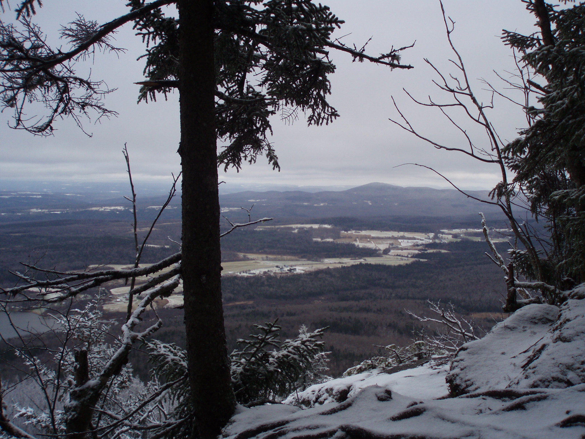
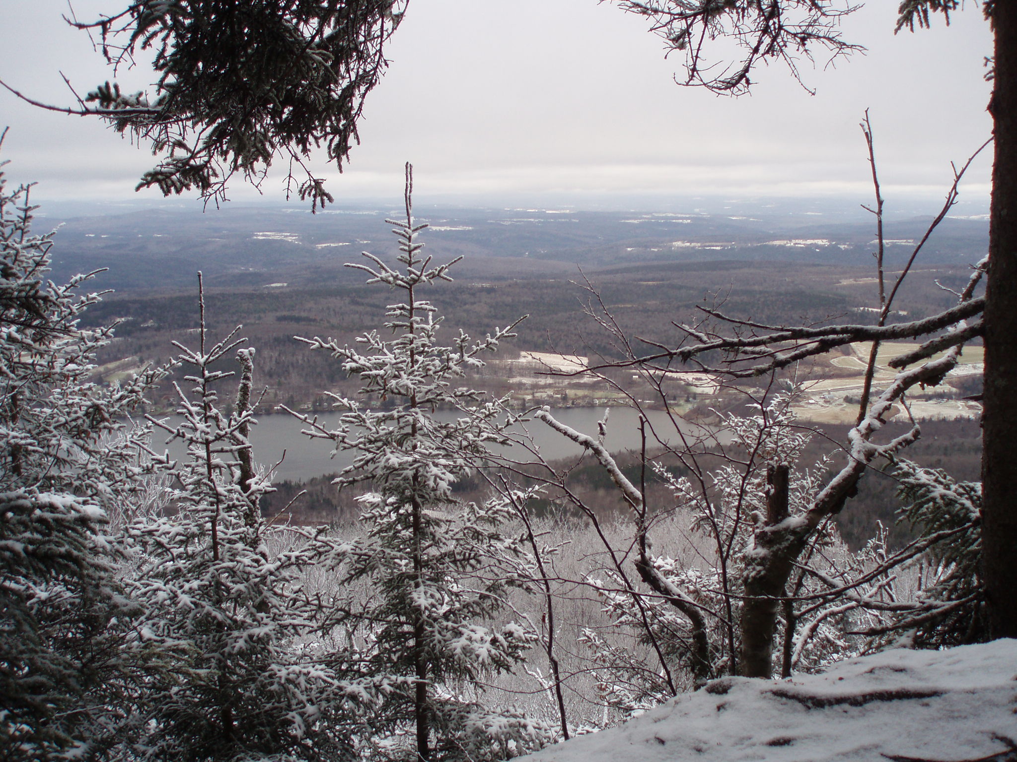
There were some nice views from the trail on the last section as it hugged the south side of the mountain (see pictures below). However, the summit was tree covered. There is a fire tower on top of Elmore from which I imagine one could get good views. I didn't try ascending the tower because of the icy steps.
A short distance below the summit there was a trail junction with another trail that goes over Balanced Rock and then makes its way back to the trailhead. It would be possible to do a loop using that trail. I didn't try it because the alternate return path was longer (and I didn't feel up to the extra distance), and because of the marginal hiking conditions. Still, it might be fun to come back another time and do that loop.
I took several pictures. Below are some views of the scenery from the trail near the summit. The last picture is of the fire tower itself.

Return to the Vermont 100 highest list.